An easy and effective way to document and organize your nature discoveries is by recording the time and location on a map.
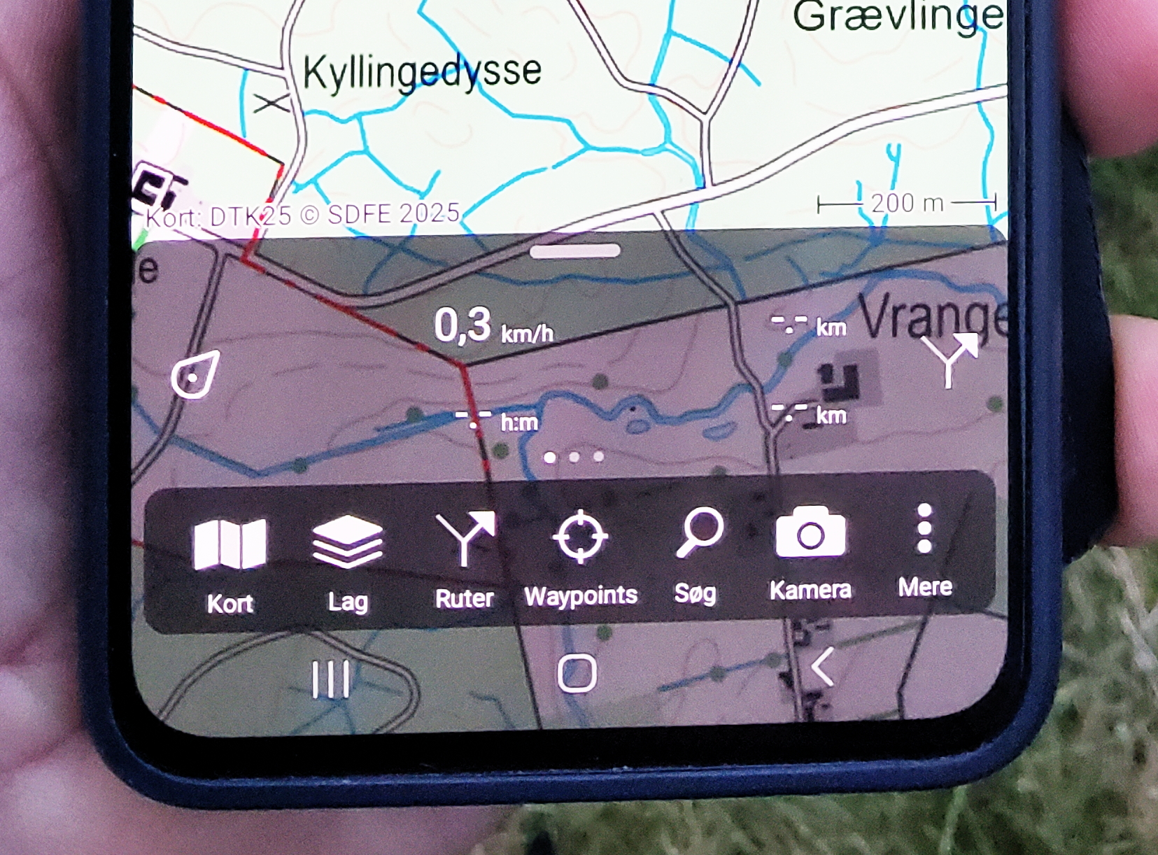
Nowadays, nearly everyone carries a smartphone in their pocket, so why not make the most of it? With a topographic map app, you can effortlessly track where you’ve been and when. Simply install the app and activate the tracking feature during your photography outings.
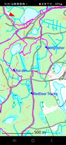
Many mapping apps let users save recorded tracks with custom file names, such as the date and time. Additionally, they often allow you to add personalized points to the map, making it simple to document all the fascinating discoveries you encounter during your adventures.
Wildlife photographers are often captivated by the seasonal behaviors of the animals they capture. However, recalling the exact marsh where the cranes performed their dances or pinpointing the start of last year’s raptor migration can be challenging. Keeping detailed notes on a map makes these moments easier to track and remember.
Many people assume they can rely on photos from previous successful trips to pinpoint the date and location. But what if you don’t have any pictures? Perhaps you spotted the cranes from far away but couldn’t get closer without disturbing them. Or maybe, when the birds of prey were active, you were on a trip with your wife and dog—without a camera. In such cases, having this information marked on a topographical map can be incredibly useful, serving as your personal database.
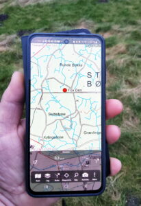
You’re hiking through the trail.
Suddenly, you spot a badger.
You pull out your phone and mark the location on your map.
Name the spot “Badger – Date – Time.”
Now you have a reference to find the badger again!